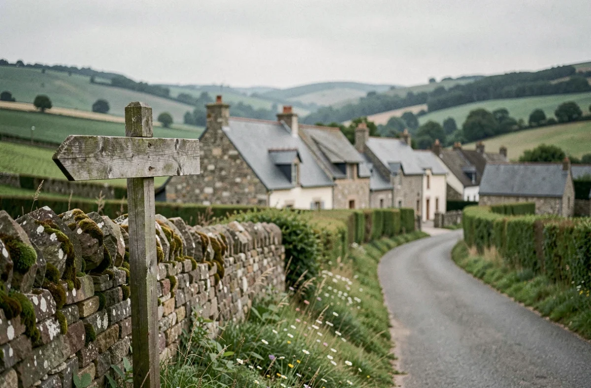
A plot identified on the Urban Planning Geoportal shows an area without any identifiable color on the map. No agricultural hatching, no green framework, no clear urban zoning. On the ground, it is often referred to as a “white zone” or “white zoning.” The reflex is to believe that this graphic void means free constructibility, but the white color on a plan does not guarantee anything in itself.
White zoning on a PLU: what the map doesn’t say
In a Local Urban Plan, the regulatory categories are codified: zone U (urban), AU (to be urbanized), A (agricultural), and N (natural and forested). White does not appear in any of these national categories.
When a parcel appears in white, it can correspond to several very different situations. Either the municipality has not yet classified this sector in its urban planning document. Or the local legend uses white for a specific use, varying from one community to another. Or it is a graphic artifact related to the dematerialization of the plan.
Therefore, one cannot conclude the constructibility of a plot based solely on its color on a map. Verification involves three documents: the legend of the zoning plan, the written regulations, and the public utility easements annexed to the PLU. Without cross-referencing these three sources, one is proceeding blindly. To learn more about Com 2 Net, the analysis process of white zoning is detailed there with the most common concrete cases.

White zone in a flood risk prevention plan
The term “white zone” is not limited to current urban planning. In Flood Risk Prevention Plans (PPRI), it designates a sector located outside regulated hazard zones, in other words, subject to common urban planning law.
Specifically, a plot in a white PPRI zone is not subject to a construction ban related to flood risk. The absence of a regulated hazard does not mean total absence of risk, particularly during exceptional events that exceed reference modeling.
The approved PPRI constitutes a public utility easement that applies to the PLU and all urban planning permits. When encountering a white zoning on a PLU with an existing PPRI, it is necessary to check if the parcel is covered by the perimeter of the prevention plan. Responses vary on this point according to municipalities: some integrate the PPRI directly into the PLU annexes, while others refer to a separate document available at the town hall or prefecture.
Objective of zero net artificialization and consequences for unclassified zones
Plots in white zoning, precisely because they are not yet assigned to a clear category, find themselves at the heart of a major issue. The Climate and Resilience Law of August 22, 2021, sets an objective of zero net artificialization by 2050, with an initial step of reducing the consumption of natural, agricultural, and forested spaces during the 2021-2031 period.
The law of July 20, 2023, clarified the system by introducing a minimum rural guarantee and specific regional governance. For rural municipalities, this guarantee opens a minimal right to urbanization, but within a framework strictly governed by regional planning documents (SRADDET).
What it changes for a construction project
A white plot today can shift to zone A or N during the next revision of the PLU, without the owner having a say in the classification. The ZAN trajectory pushes communities to reclassify unclassified spaces, often into restrictive zones.
- Check if the municipality has initiated a revision or modification procedure for its PLU, which can be consulted on the prefecture’s website or the Urban Planning Geoportal
- Request an operational urban planning certificate (CUb) that freezes the applicable rules for 18 months and obliges the town hall to express its opinion on the feasibility of a specific project
- Control the development and programming orientations (OAP) that may specifically target unclassified sectors
The operational urban planning certificate remains the only enforceable document to secure a project on a parcel whose status is open to interpretation.
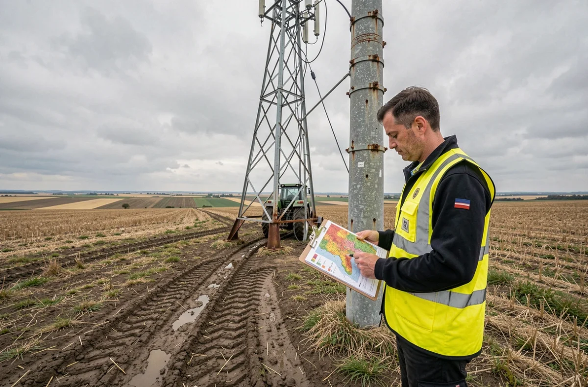
Check the zoning of a parcel: field method
You can consult the Urban Planning Geoportal online, but the tool has its limits. Not all municipalities have digitized their urban planning documents. Some displayed PLUs are several years old and do not reflect recent changes.
Concrete steps to follow
- Identify the parcel on the cadastre (section references and number), then search for it on the Urban Planning Geoportal to obtain the declared zoning
- Download the written regulations of the PLU corresponding to the displayed zone, checking the approval date of the document
- Visit the town hall to consult the public utility easements (SUP) that may not always appear in the online version, particularly the PPRIs, the perimeters of historical monuments, or networks
- Request an information urban planning certificate (CUa) to obtain the complete list of applicable rules for the parcel, or a CUb if a specific project is being considered
The CUa is free, and the town hall has one month to respond. The CUb requires a two-month period. These deadlines begin from the submission of a complete file, not from the first informal request at the counter.
The white zoning is neither a boon nor a trap, but a signal of regulatory ambiguity. Before any financial commitment on a concerned parcel, cross-referencing the zoning plan, written regulations, easements, and the urban planning certificate remains the only reliable method to know what can actually be built.